
Don't turn your back on the Merrimack River
For years, Concord has hidden behind its highway, cut off from the mighty Merrimack River. But, that does not have to be the case. The 117-mile-long river is the confluence of the Pemigewasset and Winnipesaukee rivers in Franklin, flowing southward past Concord towards Massachusetts, and then flows northeast to Gulf of Maine at Newburyport.
For years, Concord has hidden behind its highway, cut off from the mighty Merrimack River. But, that does not have to be the case. The 117-mile-long river is the confluence of the Pemigewasset and Winnipesaukee rivers in Franklin, flowing southward past Concord towards Massachusetts, and then flows northeast to Gulf of Maine at Newburyport.
According to The History of Manchester (1856), Merremack is a joining merruh ("strong") and auke ("place"), or "the place of strong current." The mighty river gave birth to milling cities harnessing its water power in the 19th century.
Today, the river view from the Merrimack River rests on bluffs, farms, forests, fields wetlands. It flows past the villages of Penacook and Canterbury and under the many bridges which cross the river. The NH capitol dome and many steeples of Concord are viewed from river.
The Merrimack is swimmable - and explored by boat - with several schools rowing on it. Public access is offered all along the river. Parks are found from Concord to Boscawen along the riverfront.
And, as a mode of transportation, energy and water supply - Concord would not be where it is if not for the river.
There are nine public access points to the Merrimack for boaters, including those at Franklin High School, Jamie Welch Park in Boscawen and Sewall's Falls Dam in Concord.
Concord’s Kiwanis Waterfront Park is right on the banks of the Merrimack River, behind the Everett Arena. This park is great for a riverside picnic.
Boat rentals
A paddle trip up the Merrimack River provides a new perspective of th landscape – silver maples leaning in from the shore, church steeples seen from below the river banks and fertile farm fields. Open your eyes to a whole new view of the place you have lived for years.
The Contoocook River Canoe Company offer sales, rentals, instruction and guided tours of canoes, kayaks and stand up paddleboards.
Massabesic Canoe and Kayak is an Old Town canoe and kayak rental business set on Lake Massabesic in Auburn, NH.
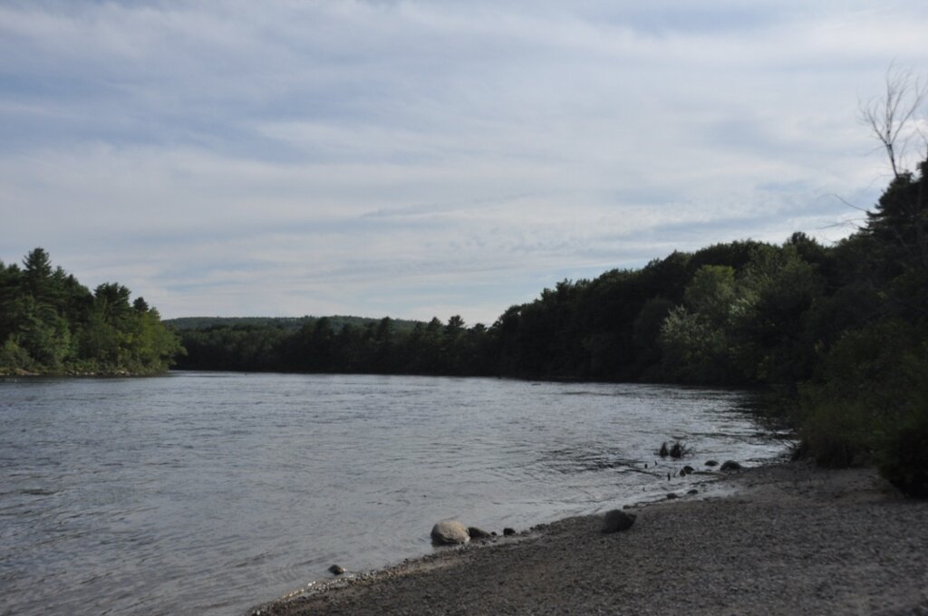
Around 10 minutes drive from the city center, this is a river beach you can reach after walking a short trail. Next on to the Hannah Duston Historic Site, the sand here is a bit rocky but there’s plenty of space for a towel.
At Sewall’s Falls you can fish or dive at some off the beaten path beaches. The Sewall’s Falls Recreation Area, a 136 acre space, has trails with access to the Merrimack River. You can take a trail from the boat launch area towards the Merrimack shore and find corners with calm waters. This is also a good opportunity to explore the Wildlife Heritage Trail and relax at the park.